Services · Charlotte and surrounding areas
Drone Photography & Video
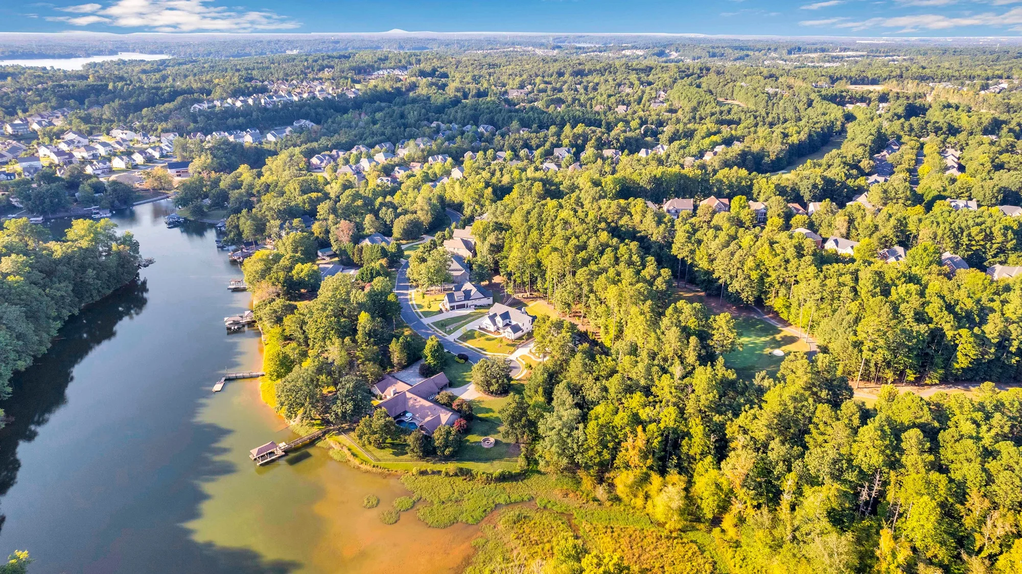
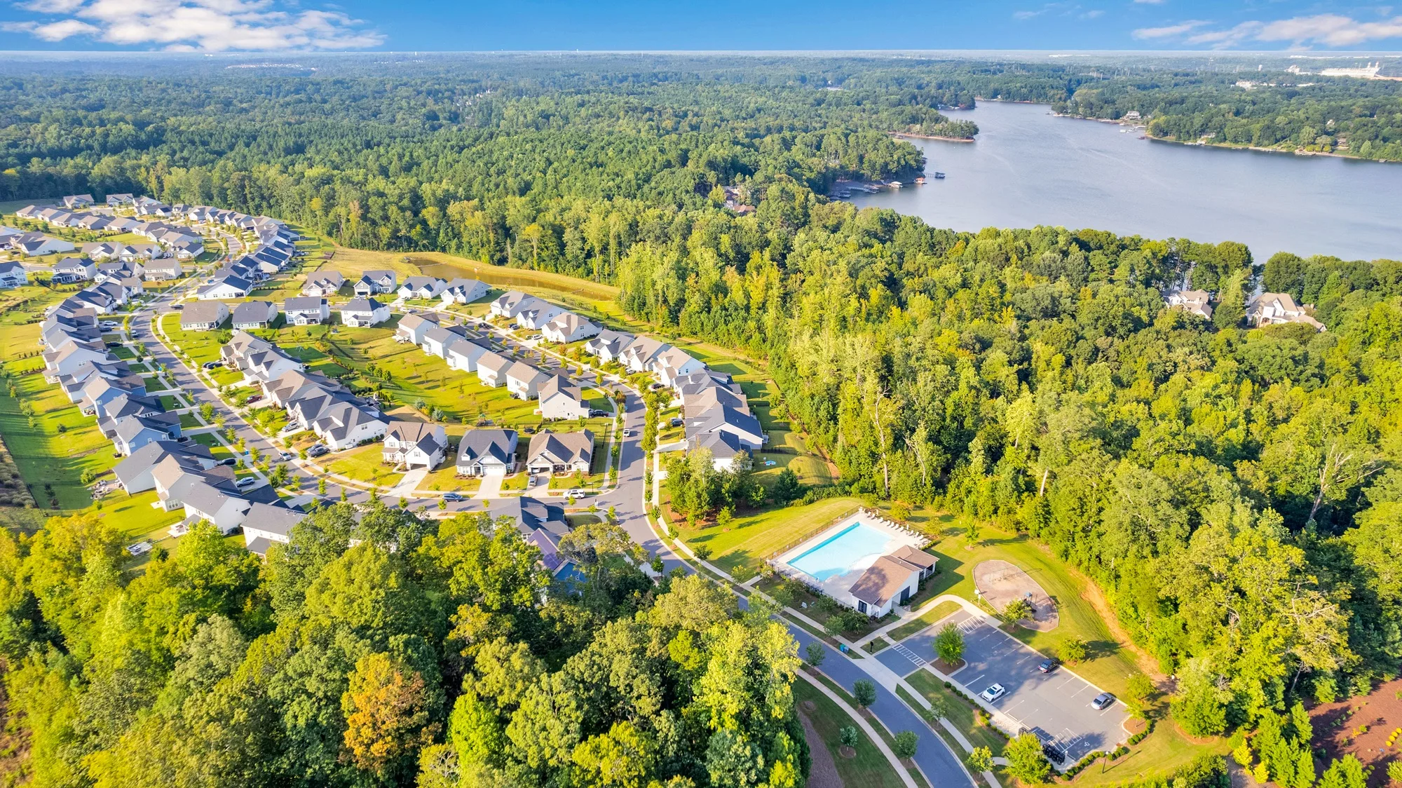
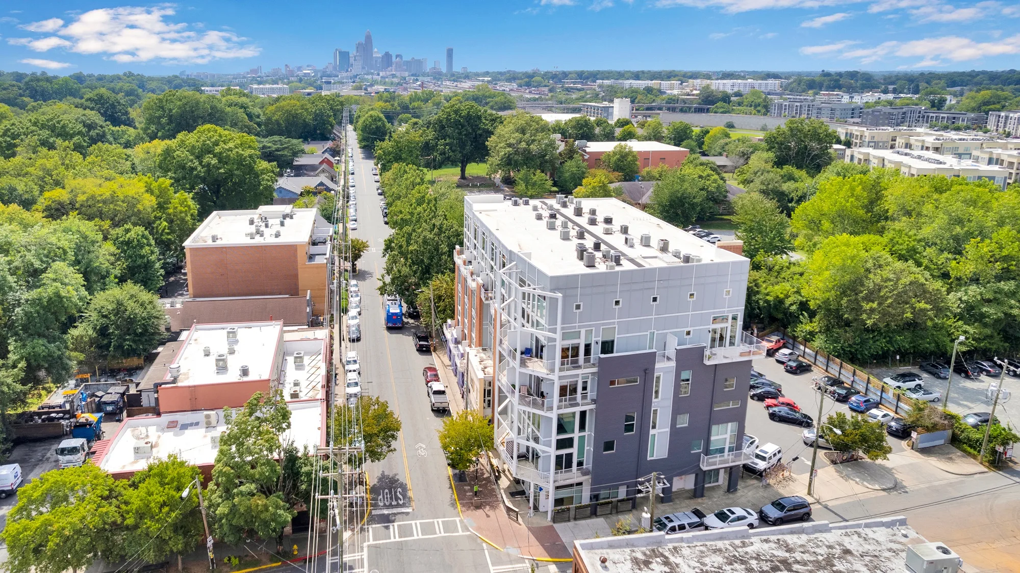
Aerial shots give buyers the context ground photos can’t — lot lines, acreage, waterfront, and the surrounding neighborhood. We capture crisp drone photos and smooth aerial video that make larger properties and standout locations shine.
What's included
Everything included.
Standard turnaround is next-day delivery.
Many agents book it in one visit alongside listing photos, cinematic listing video, or 3d tours. See our Charlotte-area coverage.
- ✓Aerial photography of the property and lot
- ✓Aerial video and drone flyover footage
- ✓Neighborhood and location context shots
- ✓Professional editing and color correction
- ✓MLS- and social-ready formats
- ✓Next-day delivery
How it works
Simple from booking to delivery.
Book online
Pick your package and a time slot in a couple of clicks — no back-and-forth.
We fly
We capture the property, lot, and surroundings from the air, weather permitting.
Next-day delivery
Your finished, ready-to-list files land in your inbox by the next morning.
Sample work
Drone Photography & Video in action.

FAQ
Drone Photography & Video, answered.
When is drone worth it?
Larger lots, acreage, waterfront, golf-course homes, and properties where location or land is a selling point benefit most from aerial coverage.
Can I add drone to a photo shoot?
Yes — aerial photos are a common add-on to a listing photo shoot, and it’s included in several of our packages.
What if the weather is bad?
Drone flights depend on safe, legal flying conditions. If weather doesn’t cooperate, we’ll reschedule the aerial portion.
Ready to book Drone Photography & Video?
Fast turnaround, consistent quality, agent-first service. Book online in minutes.